



Sometimes the Black Sea is as calm as a mirror. On other days, waves crash onto the shore, and the water takes on unusual colours. Even during the hottest summer days, the sea can suddenly turn cold. Why does this happen? The Black Sea changes constantly under the influence of winds, temperatures and invisible underwater currents. Each season reveals a different side of the sea. Behind these changes are natural processes that shape not only the beauty of our coastline but also people’s safety, marine life and the condition of our beaches.
How does the Black Sea change throughout the four seasons?
Seawater is never completely still. Even when the surface looks smooth and calm, water masses with different temperatures and salinity levels are moving beneath it. Throughout the year, solar energy, atmospheric conditions and marine currents influence these movements. The result is a distinct seasonal rhythm that can be observed along Bulgaria’s entire Black Sea coast.
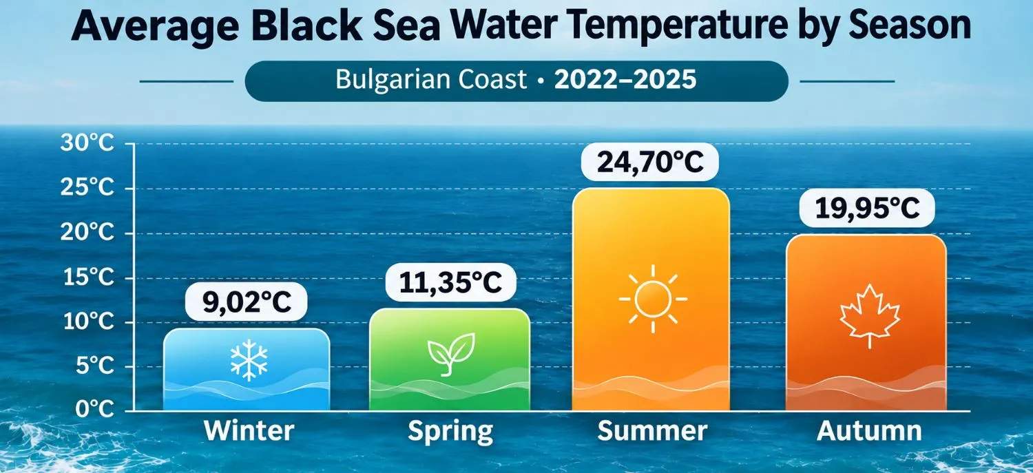
A recent scientific study of Bulgarian coastal waters covering 2022–2025 reveals just how significant these seasonal differences can be. The average surface water temperature in the studied coastal zone reaches 24.7°C in summer but drops to around 9°C in winter. During autumn, the sea retains much of the heat accumulated over summer, even as the air gradually becomes cooler.
Spring – when the sea slowly awakens
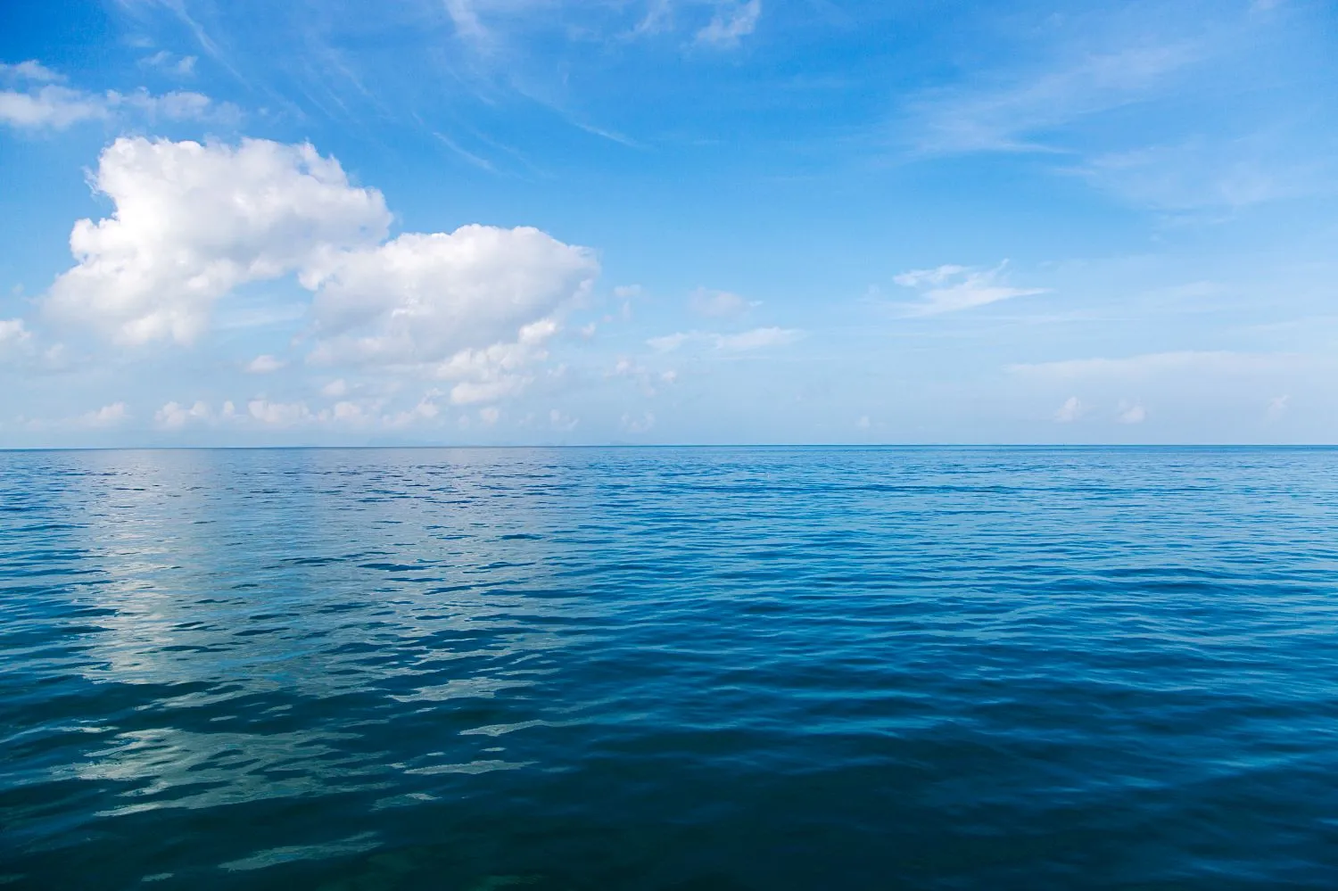
After the cold winter months, the sun begins to warm the sea surface. However, these changes happen more slowly than on land. Water has a high heat capacity, meaning it takes considerable energy to raise its temperature. This is why the sea can remain too cold for extended swimming, even on some warm April days.
Spring is also an important season for marine life. Following the winter mixing of water layers, nutrients may become more accessible to organisms living near the surface. Increasing sunlight creates favourable conditions for phytoplankton growth. These microscopic organisms form the foundation of much of the marine food chain. A 2026 study of Bulgarian coastal waters confirms that chlorophyll levels and several other indicators of biological productivity reach their seasonal peaks in spring.
Summer – warm water, sea breezes and deceptive calm
Summer is the season when the sea surface absorbs the most heat. During calm weather, the upper layers warm much faster than deeper waters. This creates thermal stratification, which limits mixing between the layers. Just a few metres below the surface, the water may be noticeably cooler.
The summer sea breeze often brings welcome relief to beachgoers. However, it can also affect wave conditions. A sea that appeared perfectly calm in the morning may become noticeably choppier by the afternoon. The strength of this effect depends on local conditions and prevailing winds.
Autumn – warm seas and changing weather
September often brings one of the most interesting combinations of conditions along the Black Sea coast. Air temperatures gradually fall, but the sea continues to release the heat stored during summer. This explains why the water can sometimes remain pleasant for swimming even when evenings have become cooler.
At the same time, atmospheric circulation begins to change. More frequent passing weather systems and periods of strong winds can produce prolonged wave activity. A scientific study of the western Black Sea covering 1979–2019 found that northeasterly winds and the waves associated with them gradually increased in strength from June to September.
Winter – storms and hidden processes beneath the surface
During winter, the sea loses much of its stored heat. Cooling, combined with strong winds, promotes vertical mixing in the upper water layers. This redistributes heat, oxygen and dissolved substances. The process plays an important role in maintaining the marine ecosystem.
Winter is also the season when average wave conditions across the Black Sea are generally at their strongest. An analysis of the wave climate between 1988 and 2021 identified a clear seasonal pattern, with winter bringing the most powerful wave conditions across much of the basin.
Winds in the Black Sea – the invisible force behind the waves
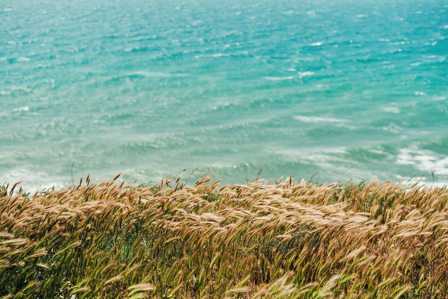
Wind is one of the main forces driving movement across the sea surface. It does more than create waves. It can also influence underwater currents, water temperature and even sea level. Its direction is often just as important as its speed.
Why are northeasterly winds particularly important?
Along the western Black Sea coast, northerly and northeasterly winds can generate significant wave activity. Under suitable atmospheric conditions, they blow across large stretches of open water, gradually transferring energy to the sea surface. The stronger and longer-lasting the wind, the more energy the waves can accumulate.
However, the impact is not the same everywhere. A beach directly exposed to incoming waves may experience powerful surf. Another area sheltered by a headland or peninsula may remain relatively calm. This is why checking wind direction is especially important when planning a boat trip or spending time near the sea.
What is a sea breeze, and why does it develop in summer?
A sea breeze forms because land and water heat up at different rates. During the day, the land usually warms faster than the sea. The air above it becomes warmer and rises. Under suitable conditions, this draws cooler air from the sea towards the land.
At night, the process may reverse. Land cools faster than water, creating conditions for a land breeze that blows towards the sea. It is usually weaker than the daytime sea breeze. This local wind circulation is characteristic of the Bulgarian Black Sea coast, although its strength also depends on broader atmospheric conditions.
Why can the sea be calm in the morning and rougher in the afternoon?
On some summer days, morning winds are weak, and the sea surface is almost completely still. As the day progresses, the land warms and the sea breeze gradually strengthens. This can produce short wind-driven waves that change conditions for swimming and water sports.
However, not every afternoon increase in wave activity is caused by a sea breeze. Sometimes the reason is an approaching weather front or waves arriving from a distant part of the sea. This is why observing the sky and local winds cannot fully replace a reliable marine forecast.
Sea waves – why are they different every day?
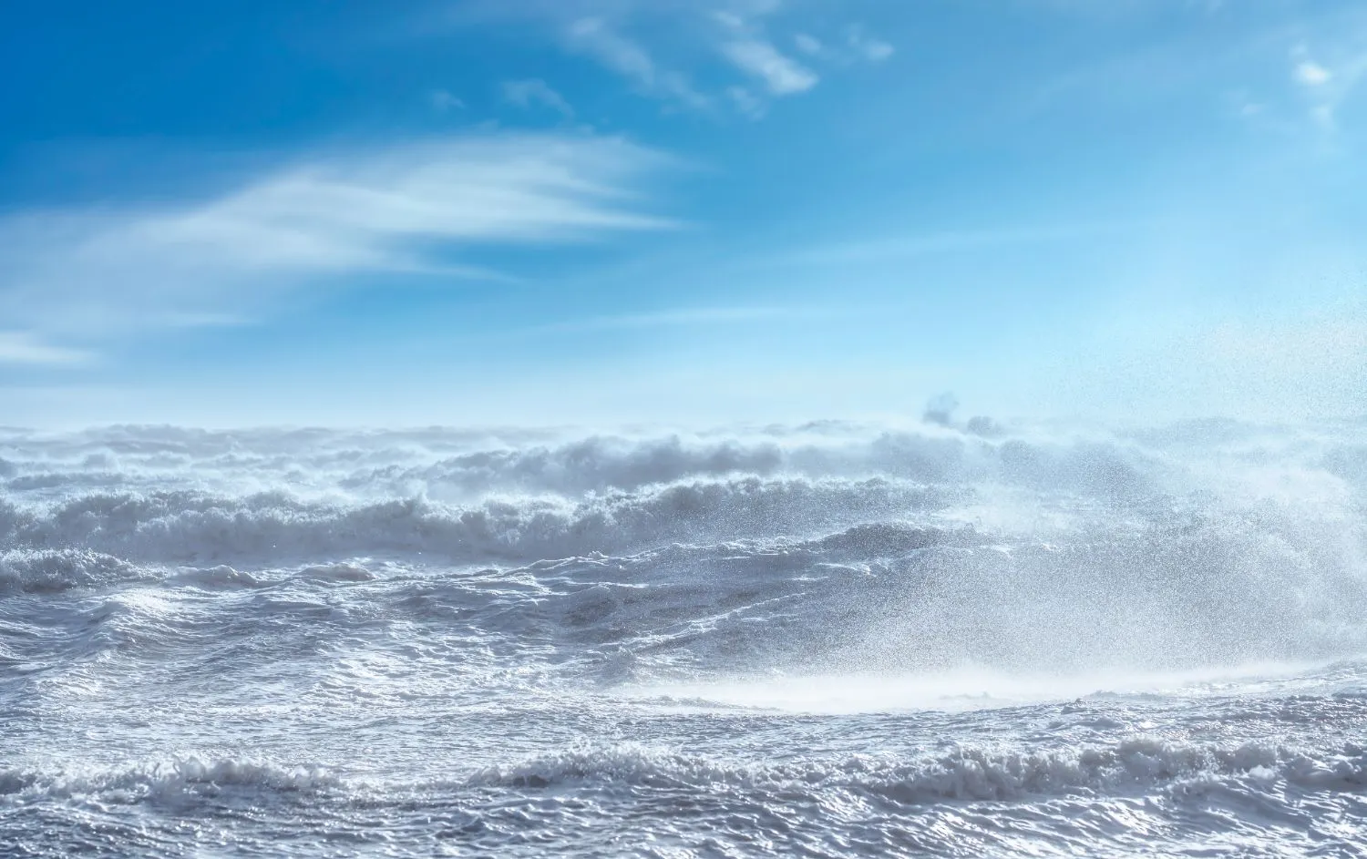
Waves are the most visible sign of the energy transferred from the atmosphere to the sea. They constantly change shape, travel across different distances and interact with the seabed. To understand their behaviour, we need to look beyond their height.
How does wind create sea waves?
When wind blows across the water, friction and changes in air pressure begin to disturb the surface. Small ripples appear first. If the wind is strong enough and continues to blow, these ripples can gradually develop into much larger waves.
Their size depends on three main factors: wind speed, how long the wind blows and the distance over which it travels across the water. The last factor is known as fetch. This explains why strong winds inside a sheltered bay do not always produce the same wave conditions as similar winds over the open sea.
Why are there large waves after the wind has stopped?
This is one of the sea’s most fascinating phenomena. Waves can continue travelling long after the wind that created them has weakened. They carry energy across the sea and may reach the coast from areas where a storm is still active.
This phenomenon is known as swell. Swell waves are often longer and more regular than short wind-driven waves. This is why calm air on the beach does not necessarily mean the sea is safe. Even without strong local winds, powerful surf can create dangerous conditions near the shore.
What does a wave height of one, two or three metres actually mean?
Marine forecasts often use a measurement called significant wave height. This is approximately the average height of the highest one-third of waves recorded during a given period. Therefore, a forecast of two-metre waves does not mean that every wave will be exactly two metres high. Individual waves can be considerably larger.
However, height is not the only indication of wave power. Wave period also matters. This is the time between two successive waves passing a particular point. At the same height, longer-period waves can carry more energy towards the coast. As they enter shallow water, their shape changes, and they eventually break into surf.
Coastal currents in the Black Sea – what happens beneath the surface?
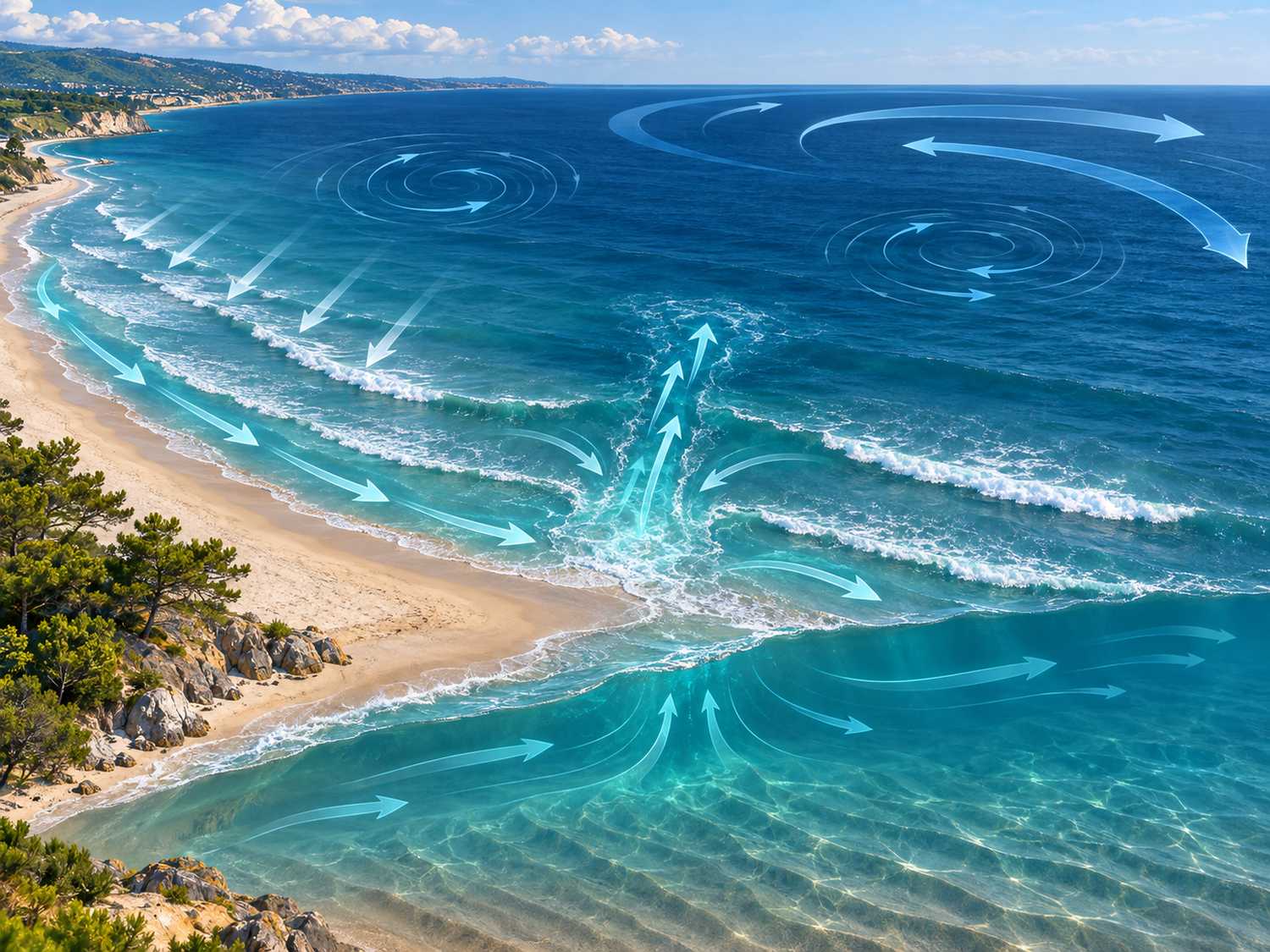
Marine currents often go unnoticed by people standing on the shore. Unlike waves, which are clearly visible, currents can move large volumes of water even when the surface appears almost calm. They influence how heat, nutrients and marine organisms are distributed throughout the sea.
The great current that circulates around the Black Sea
The Black Sea has a large-scale current system known as the Rim Current. Its main circulation follows a counterclockwise direction around the basin. However, this is not a continuous underwater river moving at a constant speed. It is a complex circulation system with swirling eddies, changing paths and seasonal variations.
During the colder months, this circulation generally becomes stronger. In warmer periods, it may become more fragmented and variable. Modern oceanographic models show that wind, salinity, temperature differences and the shape of the sea basin all influence the movement of water masses.
How do currents form parallel to the beach?
When waves approach the shore at an angle, some of their energy generates water movement along the coastline. This creates longshore currents, which can transport sand and other particles over considerable distances. These processes play an important role in shaping beaches.
Sand does not remain permanently in one place. It moves under the influence of breaking waves, currents and storms. This is why the same beach may look noticeably different at the beginning and end of the season.
What are dangerous rip currents?
Rip currents are narrow, sometimes very powerful streams of water that flow away from the shore towards the open sea. They can form when waves push water towards the beach and the accumulated water finds a concentrated path back offshore. These currents can also occur in the Black Sea, particularly under certain combinations of surf conditions and underwater terrain.
The danger is that swimmers can quickly be carried away from shore. Trying to swim directly against a strong current may lead to exhaustion. If you find yourself in this situation, stay calm. Try to swim parallel to the shore if you can do so safely. If that is not possible, remain afloat, conserve your energy and signal for help. The best prevention is to swim at lifeguard-supervised beaches and follow all safety instructions.
Why does seawater suddenly become cold, even in August?
Imagine a hot summer day. The air temperature is above 30°C, the sun is shining brightly, and the water that felt pleasantly warm only a few days earlier suddenly seems freezing. This change can happen without rain or any noticeable drop in air temperature. The explanation often lies in the movement of seawater.
Upwelling – when cold water rises to the surface
Under certain wind directions and sustained conditions, surface waters can be pushed away from the coast. Colder water from deeper layers then rises to replace them. This phenomenon is called upwelling.
Unlike normal seasonal cooling, upwelling can happen relatively quickly. Water temperatures close to shore may drop noticeably while the air remains hot. A 2024 study found that such events in the analysed northwestern part of the Black Sea are particularly common in late spring and early summer. However, their frequency may differ in other coastal areas.
Why doesn’t sea temperature follow air temperature?
The sea responds to atmospheric changes much more slowly than the land. It can retain heat for weeks after the hottest period has passed. Equally, it may remain cold after several consecutive sunny days. Water movement makes these temperature patterns even more complex.
This is why air temperature cannot reliably indicate how warm the sea will be. When planning a beach holiday, it is better to check both measurements. This is especially useful during spring, early summer and periods of sudden changes in wind conditions.
Sea storms – how do waves reshape the coastline?
Sea storms are among the most spectacular natural phenomena along the Black Sea coast. Huge waves crash against rocks, winds carry salty spray through the air, and beaches can change their shape in just a few days. What appears to be sudden chaos is actually the result of interactions between the atmosphere, seawater and coastal landforms.
Why can autumn and winter storms be so powerful?
During the colder months, atmospheric cyclones and large differences in air pressure can create strong, persistent winds. When these winds blow across extensive areas of open water, waves accumulate considerable energy. This energy reaches the coastline as powerful surf that can affect harbours, coastal roads and beach facilities.
The consequences depend not only on wave height but also on wave duration and direction. A scientific study published in 2026 examined the future wave climate of the western Black Sea. Under the climate scenarios considered, the models suggest that extreme winter wave events could become more intense and last longer towards the end of the century. These are projections, not changes that have already been observed.
What is a storm surge, and why does sea level rise?
During a powerful storm, it can sometimes seem as though the entire sea has moved towards the land. This may be caused by a storm surge, a temporary rise in sea level driven by wind and atmospheric pressure. When strong winds push water towards the shore, it can accumulate in coastal areas.
The combination of elevated sea levels and large waves is particularly dangerous. Breaking waves may then reach areas that are normally dry. Astronomical tides in the Black Sea are relatively small, making wind and atmospheric conditions especially important in short-term sea-level fluctuations.
Why do beaches change after a storm?
Sandy beaches are dynamic natural systems. During strong wave activity, the energy of breaking waves can remove sand from the upper beach and transport it towards underwater sandbars. In other situations, coastal currents move sediment along the shoreline. After a storm, new shallow areas, steep sandy sections or exposed rocks may appear.
Some of the displaced sand may gradually return during calmer weather. However, this does not always happen. Long-term erosion depends on sediment availability, coastal shape and human activity. Coastal structures can also alter the natural movement of sand.
Why does the sea become cloudy after strong waves?
When large waves reach shallow water, they stir up sand and fine sediments from the seabed. These particles rise into the water and may remain suspended for some time. Coastal currents spread them further, changing the colour and clarity of the sea.
Cloudy water does not always indicate pollution. It may simply result from the natural movement of sediments. However, heavy rainfall and nearby drainage outlets can also affect water quality. The colour of the water alone cannot reliably tell us whether it is safe for swimming.
Burgas Bay – why does the sea behave differently from beach to beach?
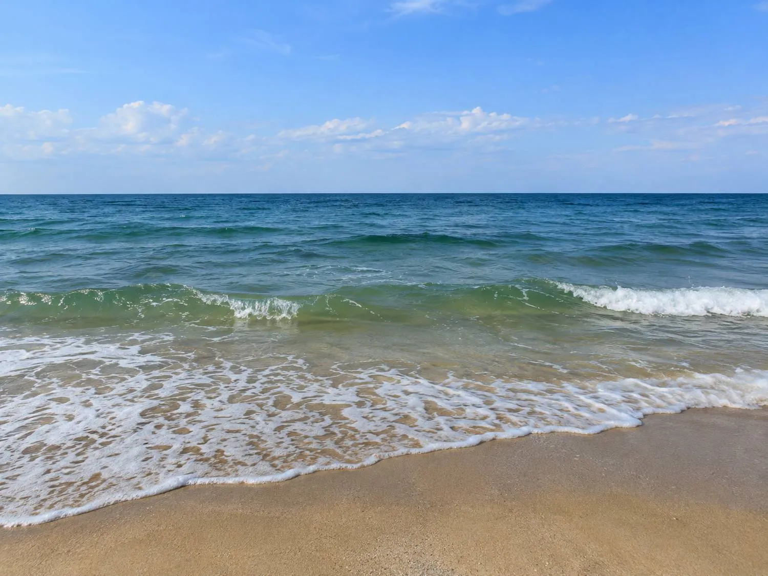
Burgas Bay is a good example of how geography influences the behaviour of the sea. Open stretches of water alternate with headlands, sandy beaches, rocky shores and harbour structures. Each of these features affects the way waves reach the coast. As a result, sea conditions can vary considerably even between relatively nearby beaches.
How does the shape of the coastline affect waves?
As waves approach the shore, decreasing water depth begins to change their speed and direction. This process is known as wave refraction. As a result, wave energy may become concentrated in certain areas while weakening in others.
Headlands and islands can partially shelter the waters behind them. However, the level of protection depends on the direction of incoming waves. A bay that is relatively calm under one wind direction may be highly exposed under another. This is why no beach can be considered permanently sheltered.
St. Anastasia Island – a landscape shaped by the sea
One of the most interesting examples of the interaction between rocks, wind and waves lies within Burgas Bay. St. Anastasia Island is known not only for its history but also for its unusual rock formations, shaped by natural forces over long periods.
Marine erosion gradually changes the rocky surfaces. Waves enter cracks in the rock, while saltwater and atmospheric processes contribute to weathering. For visitors, these natural processes are part of the island’s distinctive landscape. You can discover more about its natural features, history and visiting opportunities in our guide to St. Anastasia Island.
What do measurements near Kraimorie and Chernomorets reveal?
Actual wave measurements taken in Burgas Bay are particularly valuable. Bulgarian researchers used an acoustic Doppler instrument to monitor wave conditions at two locations: near Chernomorets during the winter of 2021–2022 and off Kraimorie during the winter of 2022–2023. The measurements were carried out at depths of approximately 18 and 15 metres and covered around three and a half months at each site.
This research is important because it provides real local observations rather than relying solely on broad models of the Black Sea. Such data helps scientists understand how waves behave under the specific conditions of Burgas Bay. The findings are useful for assessing coastal erosion, flooding risks and the impact of waves on marine infrastructure.
How is the sea connected to coastal aquatic habitats?
The Burgas region is unusual because of the close proximity of the sea, lakes and wetlands. Although each water system has its own characteristics, channels and water exchange create connections between freshwater and saltwater habitats in certain areas. Salinity, water levels and water movement influence the conditions in which different plants and animals live.
One of the best examples is the Poda Protected Area, where the proximity of different aquatic habitats supports an exceptionally rich diversity of birds. The area is particularly interesting during spring and autumn migration, when coastal wetlands become important resting and feeding sites.
How do winds and currents affect fishing in the Black Sea?
Fishermen have long observed the relationship between weather, water temperature and fish behaviour. These observations have a scientific explanation. Marine organisms respond to many factors, including food availability, oxygen levels, seasonal changes and the movement of water masses.
Temperature can influence the distribution and activity of different species. Currents transport nutrients and plankton, which form part of the marine food chain. Waves can also change water clarity and conditions near the seabed. However, this does not mean that a particular wind direction will always guarantee a good catch.
Fishing is also an important part of the cultural heritage of Burgas Bay. In the nearby fishing village of Chengene Skele, traditions connected with the sea remain part of local life. This relationship between natural conditions and human activities is also explored in our article about Chengene Skele and the maritime heritage of Burgas.
How to read marine forecasts and know when to be cautious
Understanding the sea is useful for more than just scientists. It can help anyone planning a beach day, a boat trip, a fishing outing or a coastal walk. A few key indicators provide a much clearer picture of the conditions than a basic forecast showing only sunshine and air temperature.
Which indicators are especially important?
The first thing to check is the wind forecast. Wind speed and direction can indicate whether wave conditions are likely to become rougher. Significant wave height, wave period, water temperature and warnings of dangerous weather are also important.
Observing the actual conditions matters just as much. Marine forecasts cover relatively large areas and may not always reflect the particular features of each beach. When in doubt, it is best to ask lifeguards for advice and follow their instructions.
Where can you find reliable marine forecasts?
For everyday planning, you can consult the marine forecasts provided by Bulgaria’s National Institute of Meteorology and Hydrology. They offer weather information and expected conditions along the Bulgarian Black Sea coast.
The sea is never the same
From quiet summer mornings to powerful winter waves, the Black Sea is constantly changing. Winds move its surface, currents carry heat and nutrients, and storms reshape the coastline. Sometimes these changes are slow and almost invisible. At other times, they happen within just a few hours. Understanding the forces behind them allows us to see the sea differently. Not simply as a holiday destination, but as a living natural system that deserves our attention and respect.